
Map Middletown Postal Areas
Middletown Township's official ZIP list has twelve USPS delivery-area entries but eleven distinct five-digit codes. The difference is 07748: the official list names Middletown and New Monmouth under that code, while North Middletown is also described with it in the local guidance. The table preserves the postal labels as published. It does not turn those labels into municipal boundaries or claim that a ZIP identifies a household.
| ZIP | Areas Covered | Post Office | Notes |
|---|---|---|---|
| 07701 | Red Bank delivery area serving part of the township context | Red Bank | Some Middletown addresses use a neighboring postal name. |
| 07716 | Atlantic Highlands delivery area | Atlantic Highlands | Postal label is not a township boundary. |
| 07718 | Belford | Belford | Bayshore village label. |
| 07732 | Highlands delivery area in the township context | Highlands | Verify the legal municipality for each street. |
| 07733 | Holmdel delivery area in the official list | Holmdel | Adjacent-municipality label. |
| 07737 | Leonardo | Leonardo | Township village and post-office label. |
| 07738 | Lincroft | Lincroft | Township village and post-office label. |
| 07748 | Middletown, New Monmouth, North Middletown | Middletown / New Monmouth | Shared code; keep village and legal township separate. |
| 07752 | Navesink | Navesink | Historic and local village identity. |
| 07758 | Port Monmouth | Port Monmouth | Bayshore village label. |
| 07760 | Locust / Rumson | Locust / Rumson | Official list pairs local delivery labels; verify the street. |
Consult the official Middletown Township postal-area list for the source data.
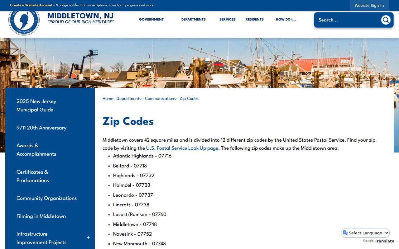
The official list is the starting point for a postal label. A legal-municipality check still belongs in the next record search.
Use USPS for a Middletown ZIP
USPS has three useful modes: By Address, By City and State, and Cities by ZIP. By Address is the best choice when a full street is known because it returns a standardized mailing form. Multiple matches may require a house number or unit. The result establishes deliverability and postal formatting, not who owns or occupies the property.
| USPS field | Type | Required | Use in a Middletown search |
|---|---|---|---|
| Company | Text | No | Optional delivery addressee. |
| Street Address | Text | Yes | Enter the street and number for a standardization check. |
| Apt/Suite/Other | Text | No | Add the unit when the street result is ambiguous. |
| City | Text | Yes in By Address mode | Use the postal place supplied with the address, then compare it with the legal municipality. |
| State | Dropdown | Yes in By Address mode | Select New Jersey. |
| ZIP | Text | No in By Address mode | Refines a known address; Cities by ZIP instead uses this field to return postal cities. |
Open the USPS postal lookup and retain its standardized output beside the original address wording.
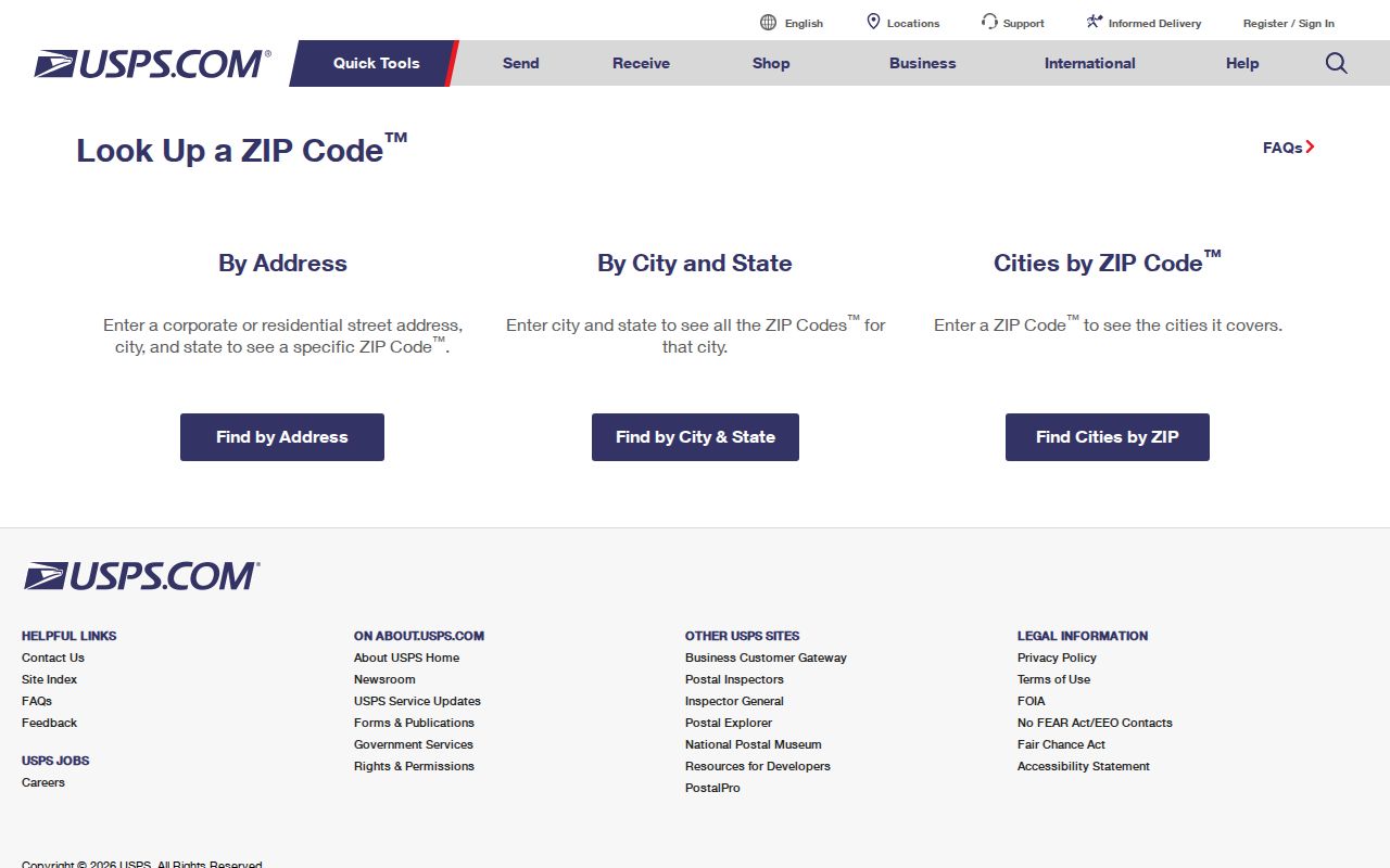
The screenshot shows the postal tool's routes. Its returned ZIP+4 improves routing, but it is not a personal identifier.
Narrow a Middletown ZIP by Parcel
OPRS does not use a ZIP as its primary parcel key. Its meaningful modes are municipality plus address, block and lot, map, or owner name. A ZIP is therefore a narrowing aid rather than the final selector. After USPS standardizes an address, choose Middletown Township in the OPRS Consolidated Records Search and use the street fragment or parcel identifiers. The result can be checked against the situs address, map position, assessment year, and deed reference.
The township's Development Services page links local property-map and address resources, while the county system supplies the parcel result.
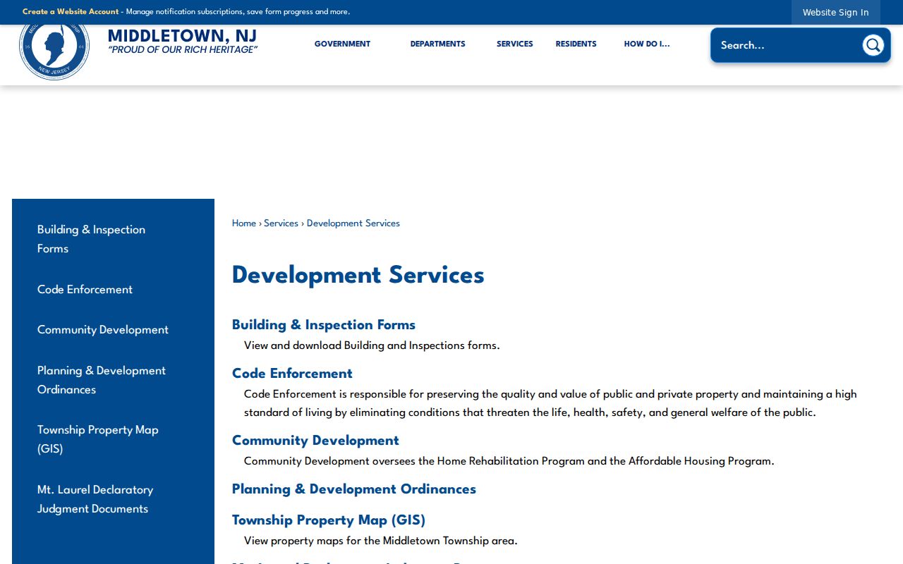
Those local resources help connect a postal address to the proper geographic record. Verify a parcel's legal description in the deed when a boundary or subdivision detail matters.
Search a Middletown ZIP Carefully
A ZIP-focused search should narrow a record, not create a name list. Use the code to validate the mailing form, then move to the custodian whose record matches the question. County property tools treat Middletown Township and the parcel identifiers as authoritative. Voter status is a personal confirmation tool with name and birth-month/year fields, and unclaimed-property results have their own city or ZIP behavior.
- Run the full address through USPS and save the standardized street, postal city, ZIP, and any ZIP+4.
- Select Middletown Township in Monmouth OPRS, then search by street, block and lot, map, or owner name as the question requires.
- Compare the returned situs address, parcel map, tax year, and block and lot with the standardized postal address.
- Use a public index only for its documented purpose, such as voter status or an unclaimed-property claim. Do not treat it as a parcel list.
- When a ZIP narrows to a street, use the Middletown street directory for the separate address-record trail.
The Monmouth Tax Board search also has address, owner, block-and-lot, year, aggregate, and exemption modes. Its selected year is important because a tax record is dated evidence, not a present-occupancy statement.
Middletown ZIP Areas Need Neighborhood Names
Postal geography is easier to read when the local names travel with it. The official Welcome Guide lists Belford, Chapel Hill, Fairview, Harmony, Leonardo, Lincroft, Locust, Middletown Village, Monmouth Hills, Navesink, New Monmouth, North Middletown, Nutswamp, Oak Hill, Port Monmouth, and River Plaza. These labels can make a map, directory, or old news item easier to place. They are descriptive fields, not substitute municipality selectors.
Historic labels can matter as well. Navesink was once Riceville, and Holland was a Dutch settlement around Laurel Avenue. Older records may use a village, farm, route, or post office rather than a modern ZIP. Pair the historical label with a date and then test it against current maps, deeds, tax maps, or local collections instead of converting it to a modern code.
Historic Middletown ZIP Routing
ZIPs are modern postal routing tools. A historical directory, census, deed, tax ratable, or church register may give a town, village, route, county, or legal description instead. Middletown's record history makes this especially important because older searches can involve Navesink, Riceville, Middletown Village, the former larger township, or a neighboring municipality. No date-specific historic postal-boundary map was identified in the official research.
When an old address will not map cleanly, compare the street with historic zoning or tax maps, a deed's legal description, county GIS, and library map collections. The township's zoning-map editions cover 1970/1977 through 2025, which can help identify a later street, subdivision, or neighborhood change without assigning a modern ZIP to an older record.
Keep Middletown ZIP Fields Separate
Postal city and legal municipality should appear as different fields in a Middletown postal directory. The safest modern record key combines street, legal municipality, ZIP, and block and lot. Postal city and neighborhood provide helpful context, but the OPRS municipality and parcel fields resolve jurisdiction. A mailing address can also differ from a parcel's situs address, so an owner name should not be presented as an occupant claim.
- ZIP and ZIP+4
- A five-digit ZIP routes mail to a delivery area. ZIP+4 adds a more specific routing segment and does not identify a person.
- PO-box ZIP
- A ZIP assigned for post-office-box delivery. It describes postal service and does not establish a legal municipality or parcel.
- Unique ZIP
- A ZIP assigned to a single institution or high-volume recipient. None is identified in the official Middletown delivery-area list.
- Carrier route
- A postal delivery sequence used for mail handling. It is not a legal boundary, property line, or resident roster.
New Jersey's free unclaimed-property search can use city or ZIP context for a claim search, but its output should not be used to construct a neighborhood list.
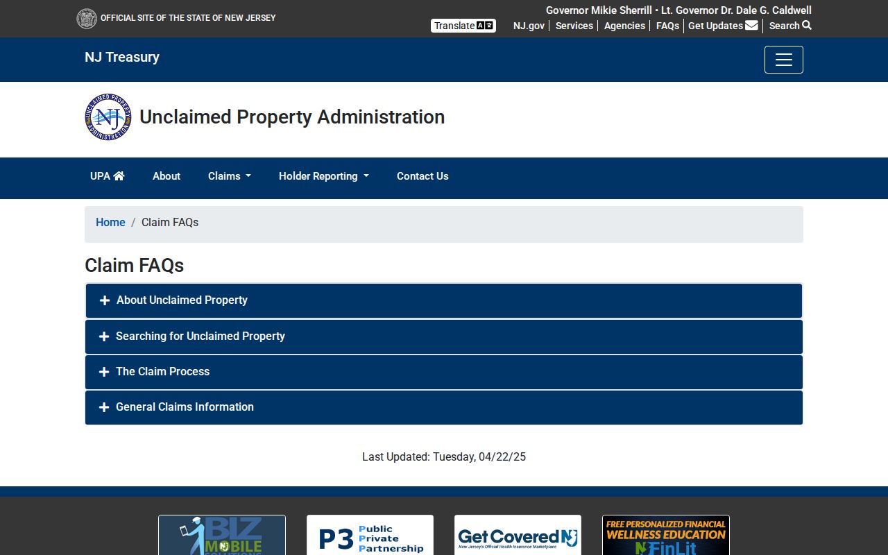
That official service is useful for a claimant's own name and address context. Its search fields do not replace the county parcel system or the township's legal municipal records.
Middletown ZIP Access Routes
Use the official township ZIP page and USPS online lookup first. A postal counter can help with delivery questions. For parcel jurisdiction, use OPRS, the County Tax Board, or Middletown Tax Assessment. Development Services and the Township Clerk can route local address questions, while OPRA reaches non-posted address-maintenance records subject to exemptions. Libraries and archives are the better path for old maps and directories.
Each route has a different record type and date. Keep the source link, search date, postal city, legal municipality, and parcel result together. That simple record trail prevents a ZIP match from being mistaken for evidence that a person owns or lives at an address. Ask the assessor or County Clerk for help when an online parcel result is incomplete, and use a county or township OPRA route for a focused request about a non-posted record. Historical map and directory research may require a library account, onsite collection, microfilm, archive appointment, or staff-research fee. The County Tax Board also offers address, owner, block-and-lot, year, aggregate, and exemption search modes, so save the selected year with every tax result. For a historic label, library reference help and State Archives collections may be more useful than a modern delivery search. Note: When a source uses a neighboring postal label, the OPRS municipality selector remains the check for Middletown Township.