
Sources for Middletown Neighbors on One Block
One Middletown address can lead to a small set of adjacent parcels, but each source describes a different thing. OPRS and the assessment roll identify property and current assessed ownership. A County Clerk deed adds parties and a recorded date. A voter status screen is for a person who provides identifying information, not a block browser. Community organizations and public notices can explain what is happening nearby without naming every household. Keep a source date beside every result.
| Source | What it can show around a block | How to access it |
|---|---|---|
| OPRS Map & Property Info | Parcel shape, road context, block/lot, and adjacent parcel leads | Free county viewer; select Middletown Township and verify each result. |
| Assessment parcel card | Situs, current assessed owner, mailing field if shown, tax and sale references | Middletown Tax Assessment or OPRS; date the assessment year. |
| County Clerk deed index | Recorded grantor, grantee, document type, date, and legal description | OPRS and Hall of Records; series coverage and image access vary. |
| Voter records | An individual's status or a law-governed voter-list request | State status screen and County election custodian; not a public block browse. |
| Community and historical sources | Public contacts, meeting context, dated householder or neighborhood clues | Township links, notices, libraries, and archives; no member-roster claim. |
The OPRS Consolidated Records Search supports address, block-and-lot, map, and owner-name routes. Its map mode is a practical first view of a block, provided the shapes are checked against individual assessor results and deed descriptions.
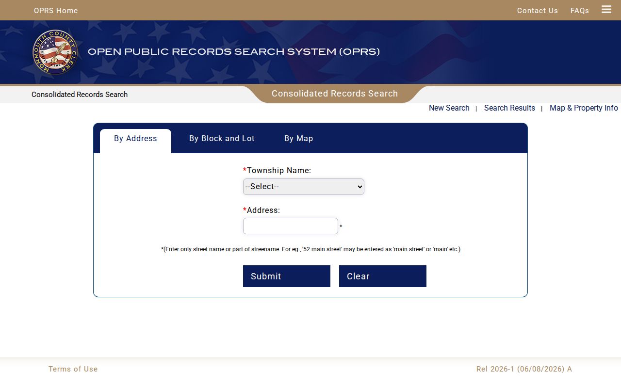
The map supplies the spatial lead. A parcel card and a recorded instrument supply the more specific property evidence.
Map Middletown Neighbors by Parcel
Start with the street address in OPRS By Address and select Middletown Township, not a postal city. The address field accepts a street name or meaningful fragment, which helps when an exact number does not resolve. Once a likely parcel appears, save its block, lot, qualifier, situs address, current assessed owner field, assessment year, map location, and sales or deed reference. A partial street match needs comparison, especially near similar road names and village labels.
- Locate the target address and open the parcel result that matches the legal municipality.
- Move into Map & Property Info, zoom to the parcel, right-click the desired area, and use the radius controls to view nearby shapes.
- Write down every bordering block-and-lot reference, noting whether the edge appears to be a lot, road, water edge, common element, or an unlabelled gap.
- Run an assessor or OPRS search for each bordering parcel. Do not copy a neighboring owner name from the map alone.
The process produces a repeatable parcel list rather than a guess based on whose driveway appears closest. For a broader road-by-road investigation, use the Middletown street directory workflow.
Verify Middletown Neighbors Parcel by Parcel
The selected parcel and each bordering parcel are separate record claims. Confirm every one through its own assessment result, then test the block/lot against the deed legal description or tax map sheet. Map boundaries can be misleading when a right-of-way, water feature, condominium common area, or map artifact sits between two visible shapes. A later subdivision can also turn one historic tract into several present parcels.
Record a current owner as a dated assessment fact. Do not turn it into an occupancy claim. If the deed path is needed, record grantor, grantee, instrument or book/page number, recording date, legal description, and image availability, then note where a trust, estate, corporation, unindexed deed, or changed parcel interrupts the trail.
Middletown Neighbor Records: Situs and Mailing Data
Situs means the physical location of a parcel. The mailing address in an assessment record can instead identify a tax-bill destination, post-office city, care-of party, trust contact, or owner outside Middletown. These fields should never be merged. A New Monmouth, Red Bank, or another postal label likewise does not replace the legal Middletown Township selector used in OPRS.
New Jersey's voter status screen requires first name, optional middle initial, last name, and birth month and year. It is appropriate for a supplied individual to confirm status, not for converting a property block into a resident roll. Public voter-list fields and related requests are governed by N.J.S.A. 19:31-18, while phone, email, signatures, and unique identifiers receive protection.
Map Middletown Neighbor Parcels With Evidence
After adjacent parcels have been confirmed, use a tax map and the assessment card to read the block's layout. Road names, lot numbers, map sheets, and subdivision notes help explain what is actually adjacent. The OPRS map is informational, so the deed's legal description is the tie-breaker when a visible boundary conflicts with the parcel record. Save the map scale and source date because online map layers can change.
The county's property records join current parcel information to sales and deed references. That makes them more useful than a single broad neighborhood label for a block lookup. If a result is not online, the fallback chain is Middletown Tax Assessment by phone or counter, the County Clerk's Hall of Records, a focused OPRA request to the proper custodian, then library or archive assistance for older maps and directories.
Middletown Community Leads, Not Member Lists
Neighborhood names can sharpen research without identifying individual residents. Official township material names Belford, Chapel Hill, Fairview, Harmony, Leonardo, Lincroft, Locust, Middletown Village, Monmouth Hills, Navesink, New Monmouth, North Middletown, Nutswamp, Oak Hill, Port Monmouth, and River Plaza. Navesink was once Riceville, while Holland clustered around Laurel Avenue. A historic label can retrieve a public meeting, map, newspaper, church, or directory reference that a current street-only search misses.
The Middletown Quick Links page is a public contact lead for groups such as Ideal Beach Community Association, Middletown Elks 2179, VFW Post 2179, Middletown Helps Its Own, Lions Club, and regional chamber resources. These names can lead to public activities or institutional context. They do not establish a public membership directory.
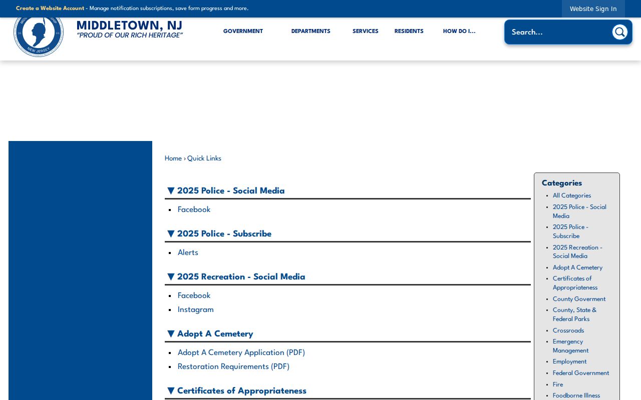
Community links are most useful as a way to find public contacts, notices, or a neighborhood term for a separate record search.
| Public community lead | What the documented source supports | What it does not support |
|---|---|---|
| Ideal Beach Community Association | Named as a Quick Links resource and a partner in the North Middletown-Port Monmouth plan. | A household or member roster. |
| AHA, Bayshore Family Success Center, and Habitat | Partners named in the neighborhood-plan notice. | Proof that a particular person lives nearby. |
| Middletown civic organizations | Public contact routes and institutional context. | A replacement for parcel, deed, or assessment research. |
Recent Middletown Neighborhood Records
A public place-based record can explain a block without naming households. In February 2025, the township described the North Middletown-Port Monmouth Neighborhood Plan, developed with Ideal Beach Community Association, AHA, Bayshore Family Success Center, Habitat, and other partners through NRTC funding. The notice is a lead for planning documents, public meetings, and neighborhood identity. It is not a private directory.
The North Middletown-Port Monmouth plan notice identifies the participating community context. Search its place names alongside the precise parcel or street, then keep a plan reference separate from an owner or occupant claim.
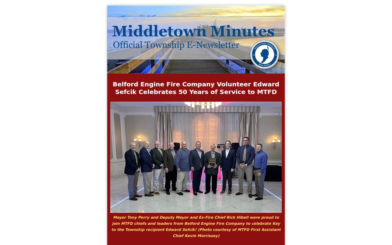
The notice shows a documented neighborhood initiative, not a list of people on the block.
In May 2025, a separate township notice described the eighth NRTC meeting and community feedback about safety concerns in Lincroft. Public meeting notices, minutes, and related plans can give a researcher a date and local term to investigate without turning community participation into an identity claim.
The Lincroft community-feedback notice provides that dated public context. It should be read for the stated issue and place, rather than used to infer who lives near the meeting topic.
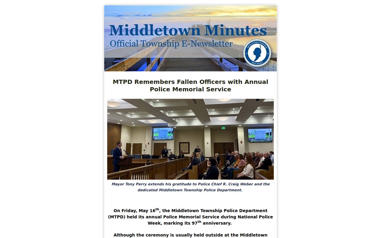
A public discussion can create useful place records, but it does not reveal an entire household or neighborhood membership.
Permits and Reports Near Middletown Neighbors
Middletown Building Inspection lists zoning and development, floodplain, special-event, commercial and industrial, UCC construction, residential certificate, health, fire, road-opening, grading, and other permit categories. A permit can establish a property or service event, but it does not establish who lives at an address. In 2025 the township launched its SDL portal for account creation, inspection requests, and permit or request-status checking. The public search fields and retention period were not located in the source material.
The Middletown permits page is the official category list. Use a permit type, date, and address in any question to the municipal office, rather than assuming every permit is searchable by address online.
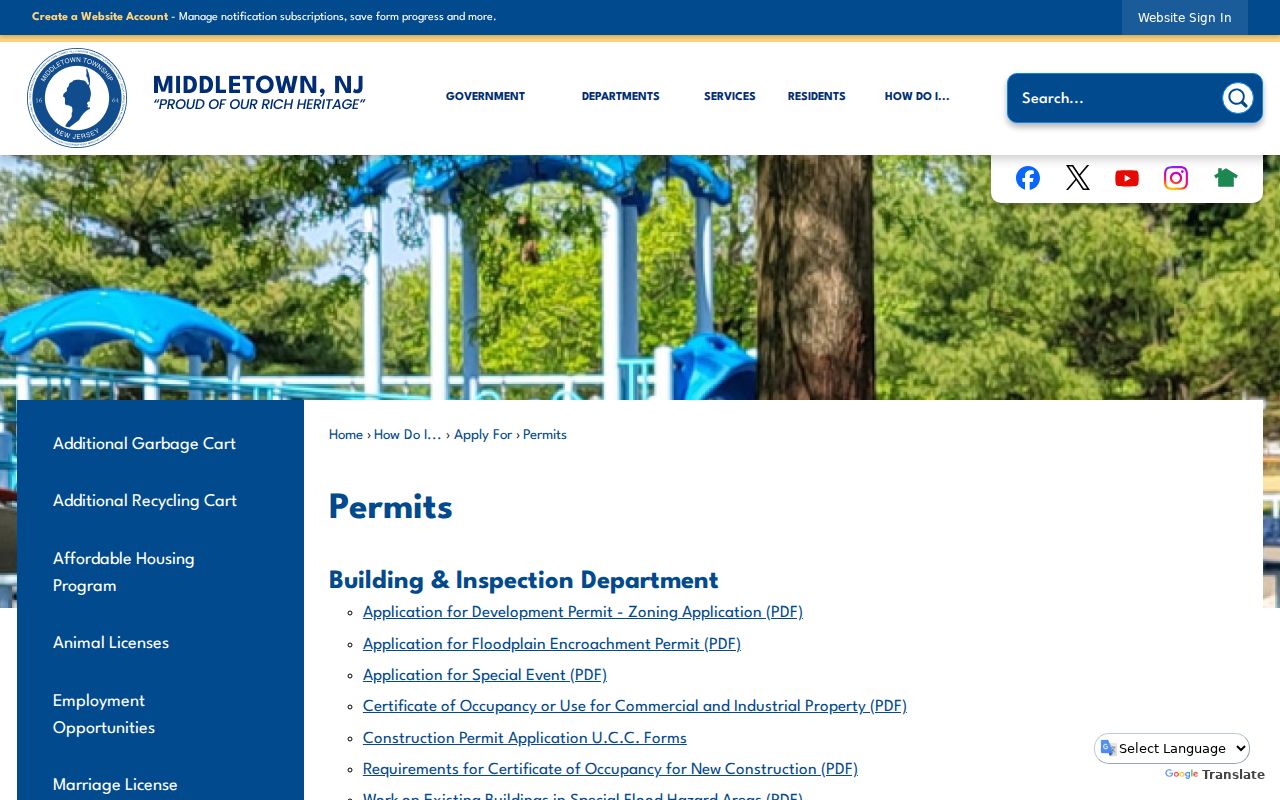
The category list helps identify the right municipal channel when a block question concerns a dated property event.
The October 2025 SDL announcement also introduced Connect & Correct through SeeClickFix, with address or map reporting, photographs, and status tracking. It is a source for a time-stamped service report, not a directory of nearby people. Its public search behavior and historical coverage need direct confirmation before a search claim is made.
The SDL and Connect & Correct launch notice documents the initiative and its stated reporting routes.
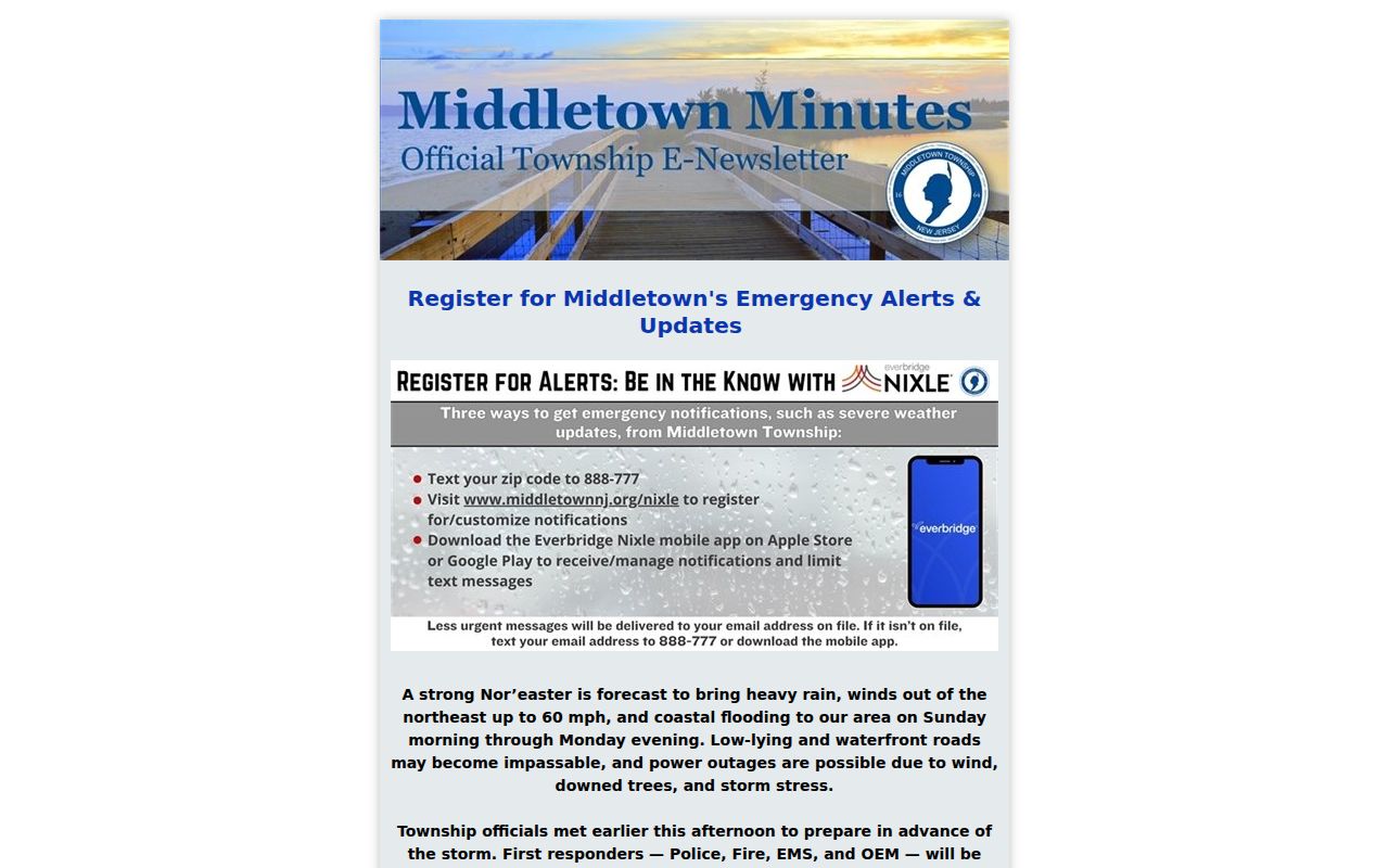
Use a service-report date and source label, just as with a parcel or deed record, before connecting it to the history of a place.
Official and Commercial Neighbor Results Differ
Official records are tied to a named custodian and a particular record date. Commercial neighbor-lookup services can combine public and nonpublic inputs into a broad result, but their method, update cycle, and source boundaries may be unclear. Use an official parcel card or recorded deed to verify a property claim. A commercial result should never substitute for the underlying county or township record.
| Official local record | Commercial neighbor-lookup category |
|---|---|
| Identifies its custodian, record type, parcel or instrument context, and stated date limits. | May combine sources with varying update dates and uncertain parcel matching. |
| Can be checked against the assessment card, map, Clerk instrument, or public notice. | Needs independent verification before it is treated as a factual lead. |
| May lawfully redact protected information or show no result. | A fuller-looking profile does not overcome a legal protection or prove identity. |
Historic Clues for Middletown Neighbors
Older blocks need dated sources. A criss-cross directory can place a householder near adjacent addresses, while its alphabetical section helps verify the entry. Monmouth County directory runs begin in 1875 and continue through early twentieth-century editions. The county's 1875 census search uses Town Name, Category Name, Person Name, and Starts With or Contains controls. Treat each hit as a lead, then test it against a deed, tax ratable, obituary, church record, or original directory.
Nearby Red Bank collections have regional directories, newspapers, maps, and yearbooks, but that geographic scope should be labeled. MCHA, the Monmouth County Library Historical Room, the New Jersey Historical Society, and the State Archives provide additional in-person or appointment routes when online material stops.
Privacy Limits for Middletown Neighbors
Parcel research does not erase privacy boundaries. New Jersey OPRA requires redaction of sensitive identifiers, and public sources do not create a complete list of people at an address. Utility data, motor-vehicle personal data, unlisted telephone information, signatures, unique identifiers, and protected records are not block-lookup tools. A no-result can reflect a privacy protection, missing digitization, a different locality label, or a record that never existed.
New Jersey's Address Confidentiality Program offers a substitute address and mail-forwarding service to eligible people. Daniel's Law protects covered home-address information for qualifying judges, law-enforcement officers, prosecutors, child-protection investigators, and family members. Voter law includes protected registration for people facing domestic violence or stalking. Never attempt to reconstruct, reveal, or share a protected address from connected records.
Lawful use. Use Middletown neighbor research for personal context, reconnecting, property history, or civic awareness. Do not use public records to watch, harass, intimidate, or harm anyone.
When a material public record is inaccurate, begin with its original custodian and keep the record image, source date, and correction correspondence. For a municipal or county record that is not posted, send the correct office a focused request naming the parcel, record type, and date range. Do not attempt to bypass a login, CAPTCHA, or access limit.